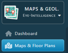
From the Sidebar, under the Maps & Geolocation Workspace, select Maps & Floor Plans.
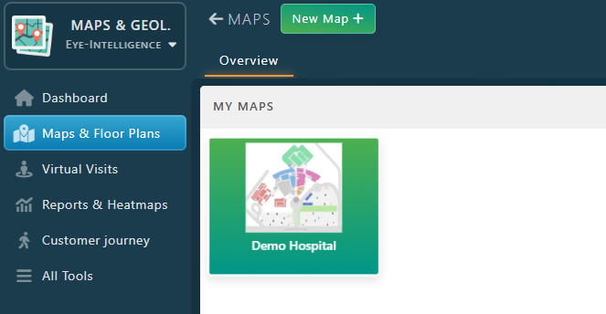
Double Click on the map, or right click and select Properties to open it.
Here are a few guidelines to use the map editor for Wayfinding.
- Don’t forget to save your changes!
- In the Map Editor, you can use the mouse wheel to zoom in and find the location you are looking for.
- You can also use the search field or click on the list of items in the right panel to select items.
- Be careful when doing changes: wayfinding maps needs precise data and location to provide a professional result.
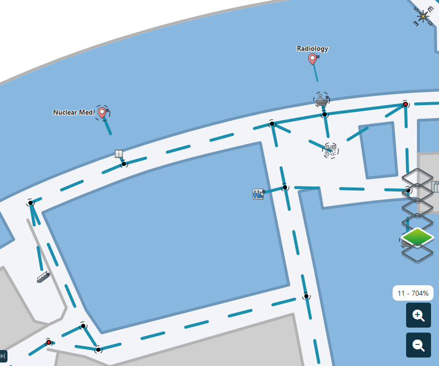
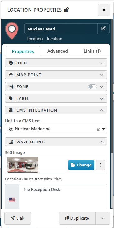
After selecting a point on the screen, a new panel will open with all the location details
Replace a location with another one
Each map point can be linked to a directory item using the CMS Integration feature. When enabled on an map point, multiple fields will be automatically taken from the directory information.
Under CMS Integration Category, use the dropdown Link to a CMS Item to replace the current location with another one. If you can’t find your new location in the dropdown, it means it doesn’t exist or it has been removed. Read the following article to learn how to Add a new Directory Item
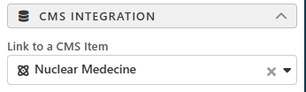
Note: Replacing the item linked will change the location display name automatically. You can customize it in the Info Category
Customize Location Information
Display Name, Description and Location Picture can be customized from the Info category.
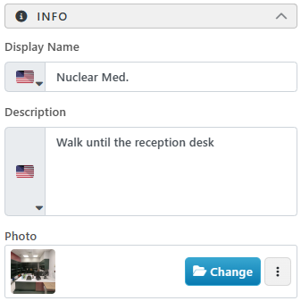
- Display Name: Sometimes the official name of a location is too long to be displayed on a map. That’s why each map point name can be customized even with multiple languages. Expand the Info Category and change the Display Name.
- Description can also be customized to provide further instructions upon arrival.
- The Destination Picture can also be changed under Photo to show how the destination looks like. Note that by default, it will use the one from the directory, but usually the image from the directory is for branding purpose and doesn’t provide relevant information for wayfinding
Customize Wayfinding Information
360 image, physical landmark nearby, instructions icon and instruction Wayfinding Information are all grouped within the Wayfinding category.
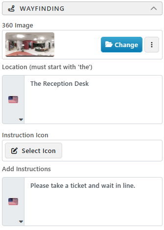
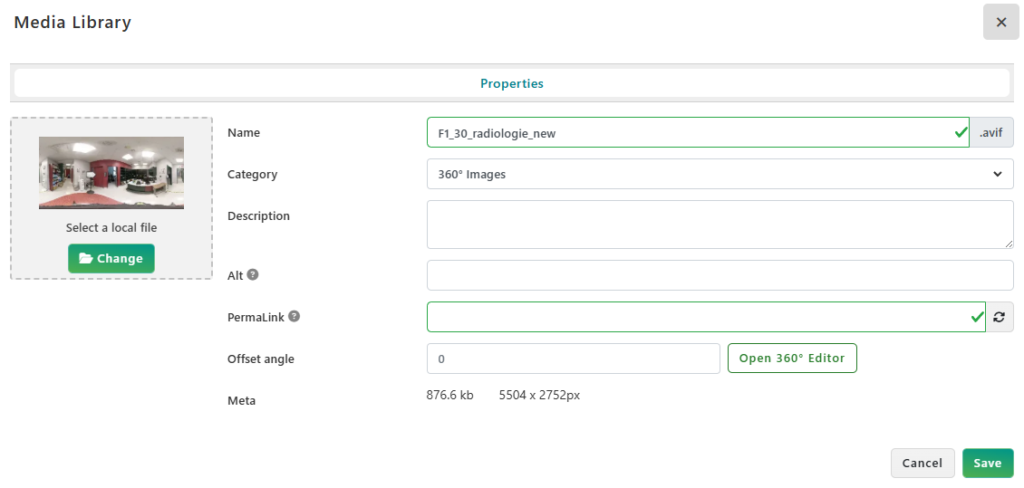
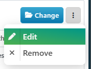
- To change the 360 image with another image, click on the button Change and select another one.
- To replace with a new version of the image, or edit its orientation, click the button with the 3 dots and select Edit.
- To preview the 360 image with the interactive 360 view, click on the image.
- Click on Change image under Select a local file to select a new image and replace the current one.
- The Offset Angle allows to adjust the orientation of the image. To learn more about the 360 Image Orientation, please read the following article: Fine Tuning 360 image orientation